Sandstone Trail
A walk in Cheshire
I am guilty of procrastinating these days, taking too much time to complete a simple job or plan anything of note, but I do flit between lack of anything and being over active when the mood takes me, I’m often accused of hurrying people up when a day out is planed simply by sitting still in the living room waiting people feel pressured by me?.
For some time now I had in mind a route in Cheshire, a route that I had run parts of some years ago and thoroughly enjoyed exploring with adventure dog and always felt a little unsatisfied that I had never gone back to. Starting in the little town of Frodsham 15minutes away from Chester the Sandstone Trail travels for some 34miles roughly following the rather impressive sandstone escarpment that rises above the plains of Cheshire to its final destination of Whitchurch in Shropshire, passing some amazing history along its varied paths.
In days gone, I would simply have hoped off a train and ran straight for 30 odd miles and completed this in one day, in fact at the height of fitness this would of taken me around 7 hours, these days however I am somewhat absent in my splendor on the trail and have to settle for a more sedate 2 days of walking, splitting the trail with a stopover at the Bickerton Poacher which is roughly half way.
In its early conception in the 1970s, the trail ran for approx. 16miles, but over time and with popularity it has been expanded on three separate occasions to its now lengthy 34 miles, the dedicated website has a wealth of information for places to stay, cafés and other notable sights on the route and they have nicely split the walk into three sections.
Now, it has been about 3 years since I did any miles of note and so with some spontaneous action running through my veins I decided that I would go ahead and walk it, maybe as proof to myself that I can still do these sorts of activities and have the ability somewhere hidden inside this tattered shell.
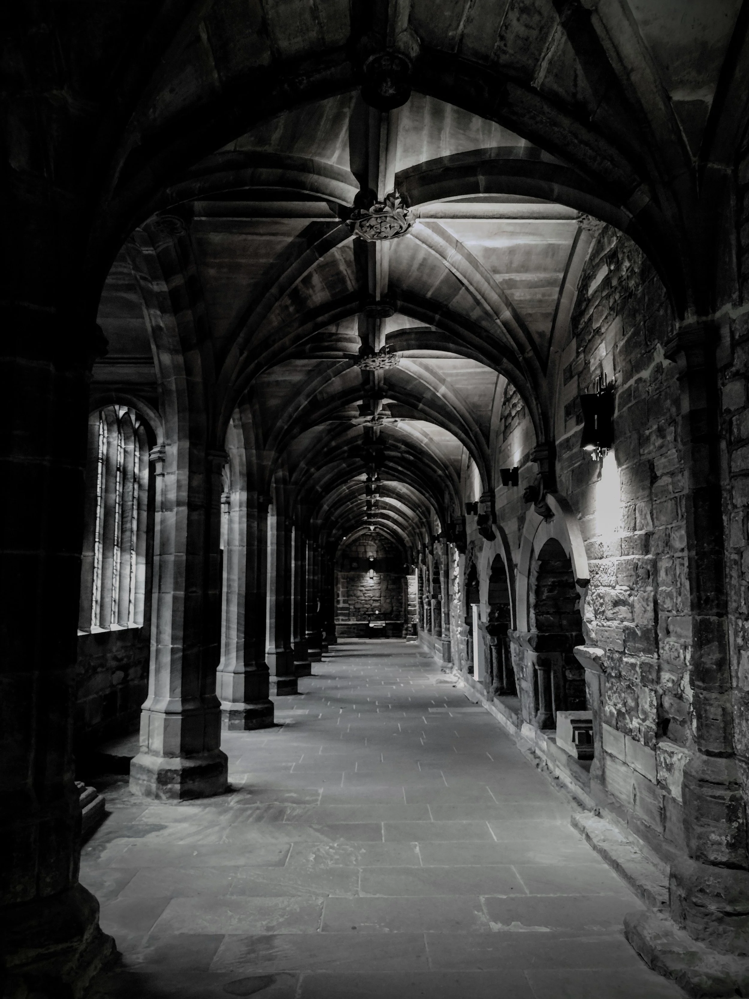
I opted to stop in Chester for the evening, when looking at accommodation in Frodsham it was around £30+ more expensive than the places in Chester and with only a 15 minutes journey time on the train it seemed an ideal place to stay, with its fantastic historic buildings, castles walls, museums and Christmas market running at the same time I was sure not to be bored whilst there.


Early morning start and I left the hotel in Chester around 6am on a damp cold morning, it was unusual to find that there were so many trains running regularly towards Frodsham with about 20mins between each service as usually I would be waiting for an hour or more for a train on previous expeditions. After a quick hot cuppa and a rather naff bacon roll from costa, I boarded the train in the dark for the short 15minutes journey to my start.


Once off the train I had a short walk down the street towards the main starting point outside of the Bears Paw pub, a hand made stone sculptor using local sand stone and steel signaled the very start of the trail with a little information board next to it. I did a quick video introduction as commuters zipped past on their early morning drive and began the walk, now every single time I’ve done a walk it always seems to start with a hill or incline and today was no different.


I walked the short distance back up past the train station again and took a turning right up along a narrow footpath towards St Peters church where I was afforded a nice view back down into Frodsham before the walk onto Overton Hill. The first footsteps on this new terrain gave me a taste of what I was in for during the next 34 miles as the recent rain had turned the mud into a slick and almost icy surface that provided little purchase on, still onwards I pressed legs burning and lungs wanting to give up until I reached the top and was met with a spectacular view out across the Mersey and into Liverpool itself.


A slight wisp of mist was rolling off the hill adding to a magical first climb, I stood around and marveled at the scenery and the impressive war memorial before taking off on the well sign posted route, little yellow circles with a black footprint showed me the way.
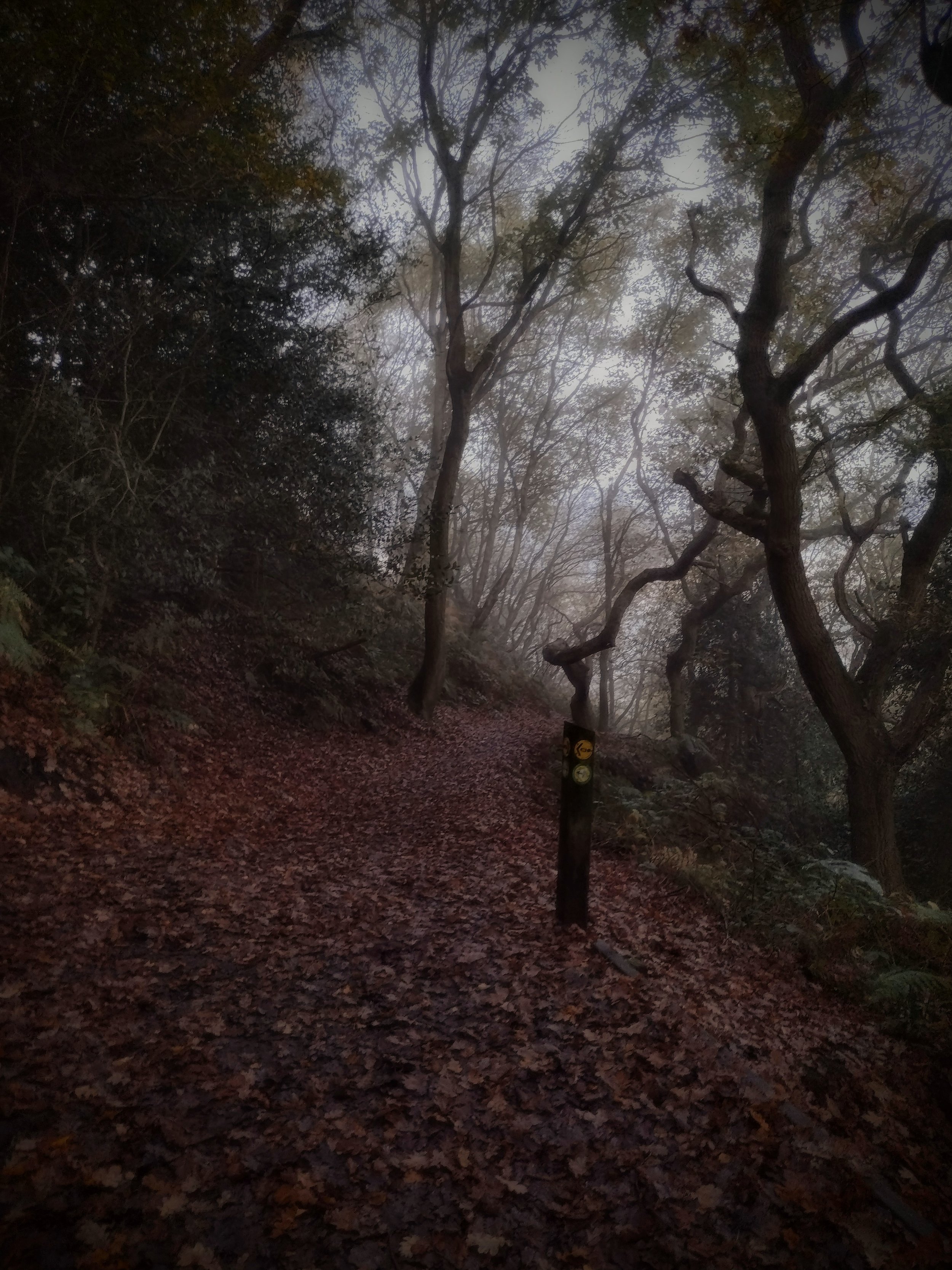


I threaded my way through woodlands atop the ridge, large cliffs of sandstone flanked my left and I was soon coming out onto a large open field, the signs directed me up towards a main road and it wasn’t until I had walked for 30minutes and realised that for some reason the path separated here to the main road and nowhere else, so I walked back down to where I came from and I managed to locate my path, this wasn’t to be the first time the path became a little spurious in its direction.


The wandering here was very sedate, slight up hills followed quickly by downhills and pleasant autumn woodlands surrounded me at every turn, this place was old and I was soon passing the base of WoodHouse Hill Fort and its large impressive ramparts, a large iron age hill fort where during one archeological dig small round stones were found which were identified as sling stones used to defend the fort or perhaps hunt animals. The next few miles were a gentle mix of low level paths, many of which were now a muddy mess and I slid along the best I could at times shuffling along trying to some degree to avoid the worst of what lay beneath my feet, I stopped momentarily for a rummage in my trial snack pack, a delightful heady mix of dried fruit, MnMs and beef jerky.
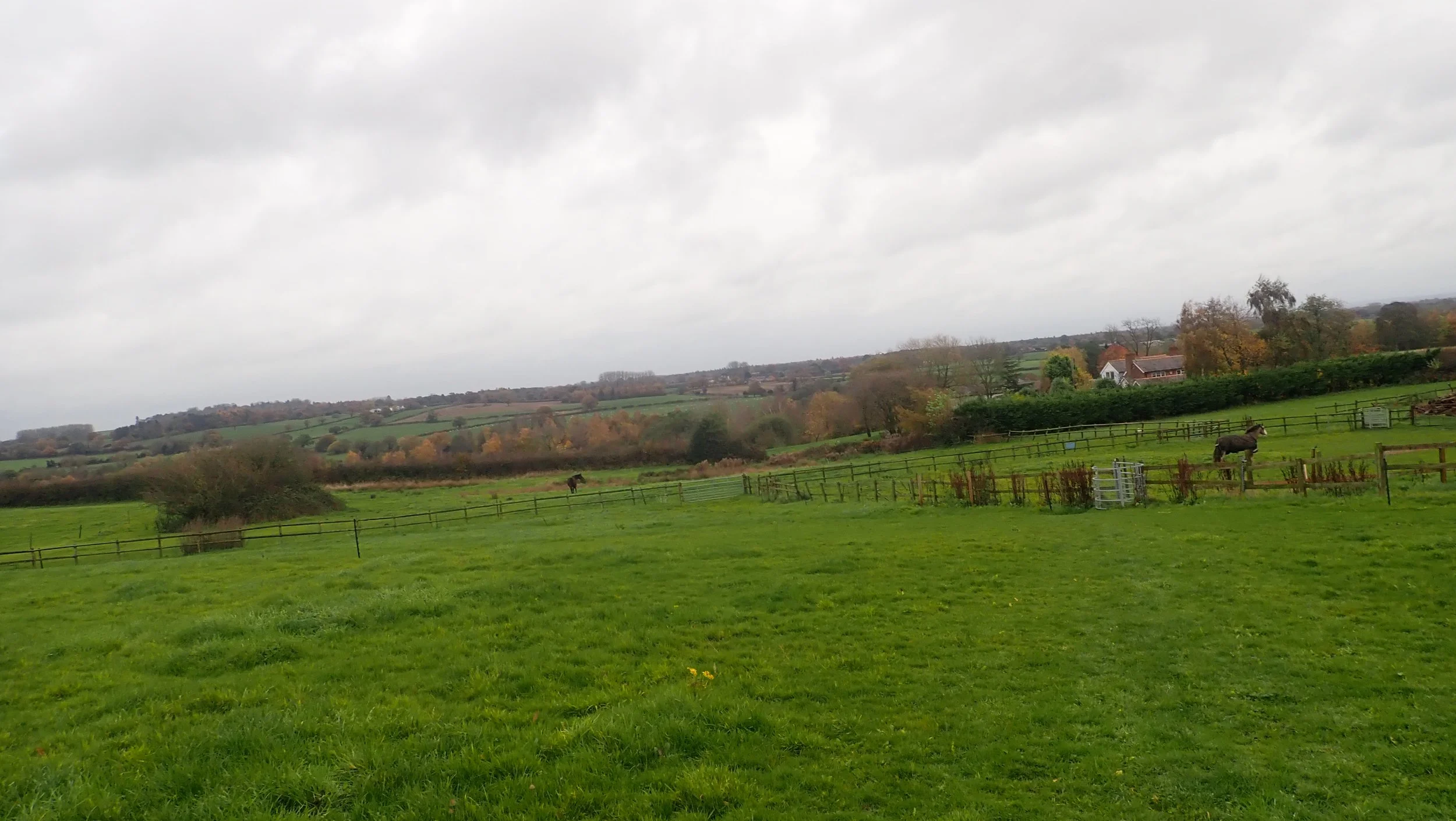
I was soon wandering alongside fields and past beautiful but rather rude and standoffish horses (posh horses) and into the very start of Delamere forest, I hadn’t been here since I was a kid, not that I could remember the labyrinthine fire tracks and roads, I had read and watched a few blogs of this route with most saying how boring this section was. I do get where they were coming from, with endless miles of the same type of forest track it can get a tad dull, I would of preferred more off track route here but it was still a pleasant wander non the less. Delamere was a busy little place which seemed off for me to have come across so many people as usually I had been wandering on my own for hours without seeing another sole, they were just starting to erect the light trail for Christmas and miles of wires and lights stretched the route.


At one time I came across what I believed to be a ramblers meet in a local car park and laughed at the signs from the forestry commission here stating their green credentials whilst hordes of people hopped out of cars in the car park, still was nice to see the place being so well used.
I did consider making a beeline for the café but decided I would rather push on, 7miles seemed to pass quite easily and I was soon crossing a rather busy road (A54) and into Primrose wood where a little descent and assent awaited me. I stopped for a time and had a break with water and snacks and watched others wander past on their day out, the paths all around here seemed to be quite accessible and easy to reach. I made a beeline for the lovely named Urchins kitchen which unfortunately given the recent wet weather had flooded the main walking route and I opted not to try and access this today and end up knee deep in cold swampy water, Urchins kitchen is a remnant of geological movement with a large gorge cutting through the woodland here.
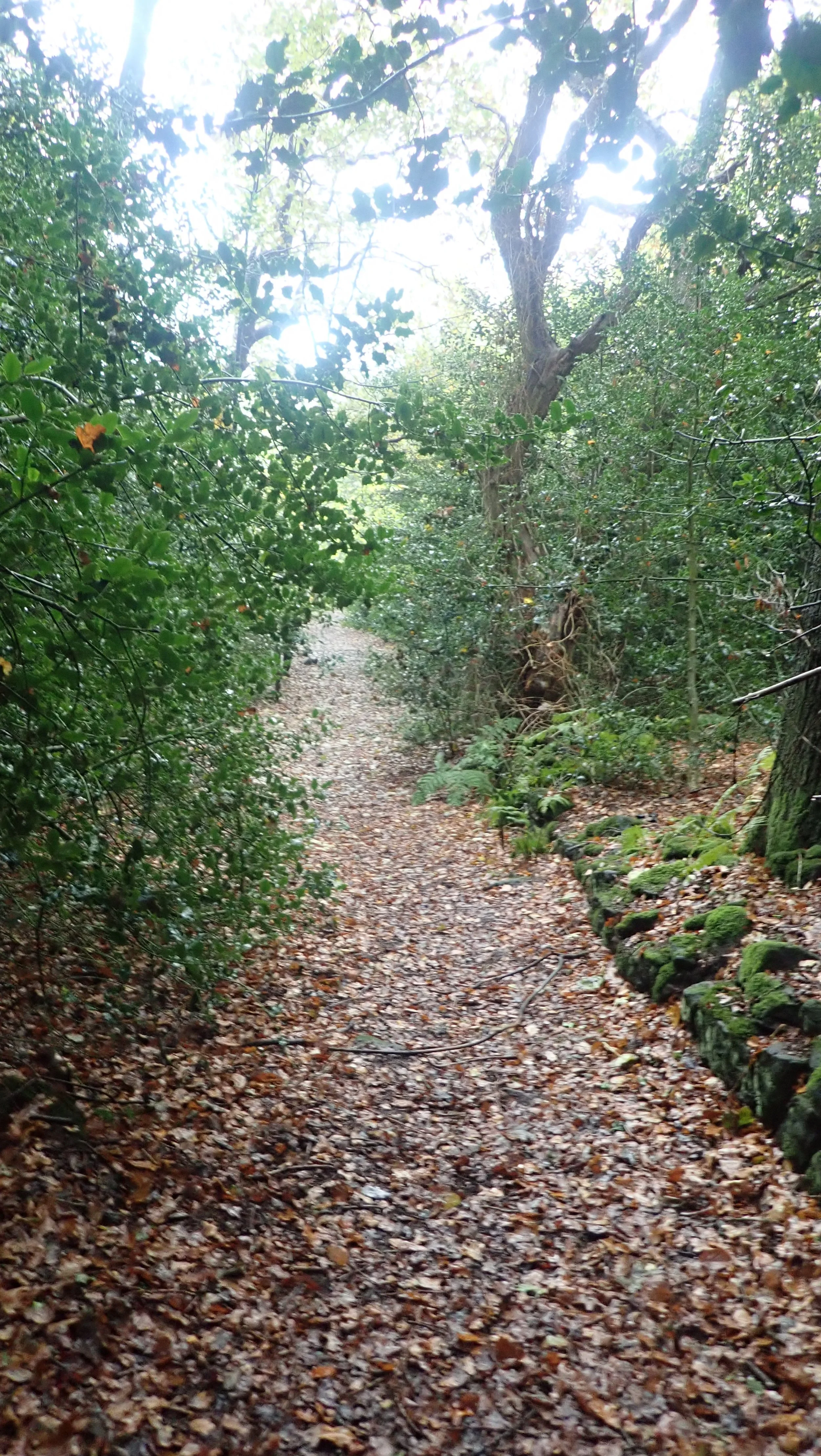
Another road crossing and into Willington wood where I was greeted with a strong haunting vibe, the young trees had formed a lovely arch way along the path, but the dull autumn light and slight mist provided the woodland with a sleepy hollow feeling,


I quickened my pace and was soon wandering through numerous open fields, the ground here wet and claggy underfoot and each step needing an extra one or two to move forward as my feet slid on the ground. On my way I passed by some rather fancy houses and extremely large stables that wouldn’t look out of place in a period BBC drama, a quick crossing over the Shropshire union canal and in the distance began to form the impressive ruin of Beeston castle, sat atop its rocky outcrop.
I skirted the base of the ancient site, its history tracing back to at least the bronze age, before a short road section led up to the front gates which loomed impressively. Unfortunately it is not open every day and requires pre-booking to enter, still somewhere I definitely need to return to in the future, the café here was also closed for the day and I had to make do with my water and snacks.


Nestled behind Beeston sat the impressive Peckforton castle, built in the 1800s as a rich Victorians country house, it is not actually a castle but built in the style of one, today however I was wandering around the outer grounds, my more than smelly bedraggled look probably wouldn’t of been welcomed at this now rather posh hotel and spa.

I took a seat here in the woods and marveled at the almost tropical noises around me. I assume the calling was from the local crow/rook population, but today it sounded like a pack of monkey’s following me through the woodland. A very sharp climb awaited up onto the summit of Peckforton Hill and a brief sit to catch my breath and I was off again. Nearly 19miles in according to OS map but nearly 22 miles according to my GPS watch? I decided I had enough of the slippy terrain for today and made a beeline for the nearest road, Stone House lane seemed to drag on forever passing by some rather large and fancy houses but thankfully lead simply to my rest stop for the night and in the distance I could spy the Bickerton Poacher and the eventual stop for today.


I wandered inside and grabbed a cup of tea and a Sandwich before making my way to my room and a short rest before ordering evening food. I was glad I wasn’t sleeping outside tonight and a quick look at the Met office signaled a yellow weather warning for rain for much of the area tomorrow.
I had a fit full sleep in the night, hot and legs aching saw me wake periodically, I woke early and made a brew whilst I waited for breakfast to start, for some reason it seemed to take a rather lengthy amount of time for my breakfast to be made (40min) but it was nice and I was soon leaving the warmth and dry of the pub for the drizzle outside. I had now donned my waterproofs to help protect me from what was promising to be a miserable day on the trail.
The path was straight from the pub and a quick dash across the very busy road saw me slowly climbing up a wet and muddy path, before a short road section saw me join up with the Sandstone way path and onto Bickerton Hill, as I joined the path at RawHead farm I instantly remembered the route I had run all the years before, I had hoped to check out the many caves along this route, but it would of meant me climbing down and then back up again and so I opted to avoid them today.

I passed Queens Parlor, a rather large multi-chamber cave gradually dug out by human activity over the years and the infamous Rawhead cave, said to be home to a gang of highway men in the 18thC who would use this as a hideout and staging area for their numerous crimes. It was definitely out of bounds, I had tried to find this on previous visits but the overgrowth had hidden it well, today however the rain had made the ground a little treacherous and there was no way of getting down there. I also managed to find the well which would have provided a local source of water in the past.
I wound my way along the footpath as it narrowed and opened out along the ridge, passing by large scars in the earth which helped to give the whole place a Switzerland type feel, the relatively slight stature of the hill hidden in the dramatic geology.


I was soon coming down off of one hill when it was time to start the ascent and onto the second section of Bickerton hill, again a short but sharp climb up on the top to be met with another great view of the Cheshire plains and yet more caves were hidden underneath, this time Mad Allens hole, home to hermit in the 19thC who not being allowed to marry to woman he loved, took up residence in the cave for the rest of his life.
I passed by Maiden Castle (iron age fort) and stood in its deep and intricate ramparts, the work it must have collectively taken to build these things really does astonish me sometimes, passing down again and into the lowland for the final time of the trip.


Here I was met with more large country houses, farms and stables, fields freshly harvested now stood bear with mud looking like barren battel fields and making any walking through these extremely difficult. I wandered into a field at one time, a large groups of young and enthusiastic calves eyed me before walking up to meet me at the style, I had to physically push them out the way at one point before they continued to follow me and began to pick up speed behind me, I turned round quickly and waved my hands whilst shouting at them and they stood there looking surprised and scalded like naughty children before I was able to make my escape from them.
Not far away I was greeted by the singular church in the middle of fields surrounded by a fence, Old St Chads once served the local area, a 14thC church rebuilt in the 1600s feels cut off from the world around it, today it is very little used but still holds burial plots for the area.


I continued on my way threading along various fields before coming upon another field of young calves, this time however the calves seem to have been very energetic and every inch of the field was now a pot mark of small hoof sized depression each one filled with muddy cold water, there was no way of avoiding any of this now and my feet already drenched from the many previous flooded fields became wetter and muddier, the cows thankfully stayed away this time.
I was great full to finally come across the canal, or more specifically the Llangollen canal where a nice path absent in mud and water awaited me, a pleasant little trundle along and a short stop in a local café for much needed cake and tea and re warmth before setting off again for the final slog.


The only issue I have with the canal is how straight they can be and seemingly never ending length, I passed over an old swing bridge just on the outskirts of Whitchurch and on towards the town itself, the canal finally running out and onto sedate local town paths, where the signs became a little less here and at one point I seemed to be on the opposite side of the path and passed out into a park, I soon ended up in the Centre of Whitchurch and looked around for the ending and after looking at google, I realised that I had seemingly walked passed it at the park entrance (oops) being too focused on the end haha.

I took off for the train station eager to get some warmth and head home and when I arrived I found out that the trains were now buses, but after a 20 minute wait I was pleased to step foot into a warm place and finally start making my way home.
So I spent 2 days walking this route but those of you that are fitter may very well complete it in one day. There are options for accommodation but they are both expensive being around £70 per night and one stop over entails a walk off from the path of about 2 miles.
People have wild camped it and I have seen places where people may do this, personally I don’t think I would risk it, the route is quite populated and frequented, meaning that any stops are going to be very late arriving and very early leaving.
I wouldn’t recommend walking this in the winter months, the ground here is just far to slippy in most places, it might be devoid of height and technical underfoot, but this dosen’t mean that some will not find it difficult to walk across, my choice would be late spring and into to the summer months.
There isn’t really many places to grab a drink or bit to eat along the way, so make sure you pack smart for water and food, apart from the café in Delamere I cant say I seen many stop off points for a cuppa and cake.
Access to and from the start/end is easy, Id recommend stopping in Chester the night before, more choice and cheaper, you can alternatively start from Whitchurch end, don’t be like me, make sure you know where the end is lol.